Atlas Site
Driving Directions to Atlas
GPS 40.649070,-104.384445
Google Maps [Link Updated 2023]
- Take I25 to exit 269A, Colorado Highway 14 EAST.
- Go east on Highway 14 to the intersection with US Highway 85.
- From the intersection of Colorado Highway 14 and US Highway 85 in Ault.
- Continue East on Highway 14 20.3 miles, just past County Road 71
- Make left through gate and follow road approximately 1 mile to where it curves around West to launch site
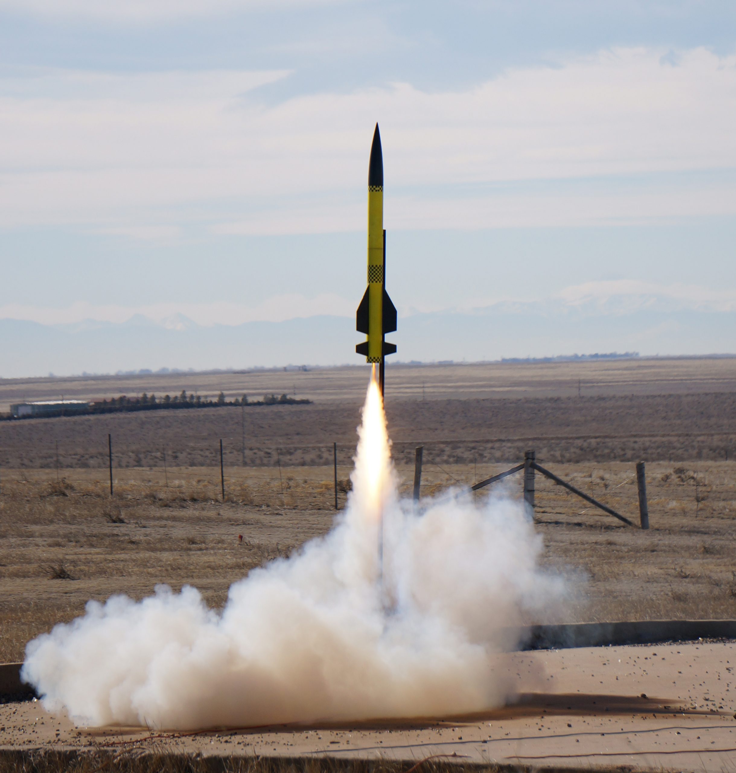
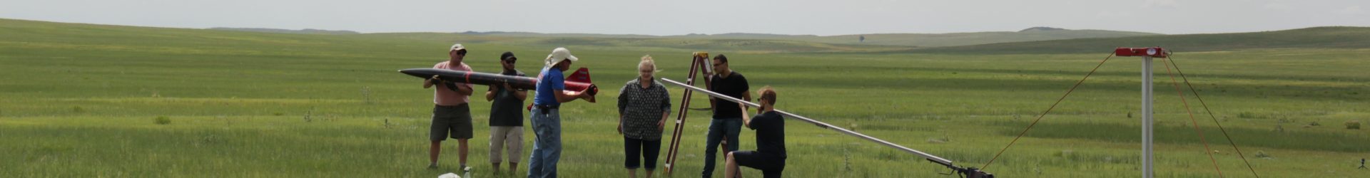
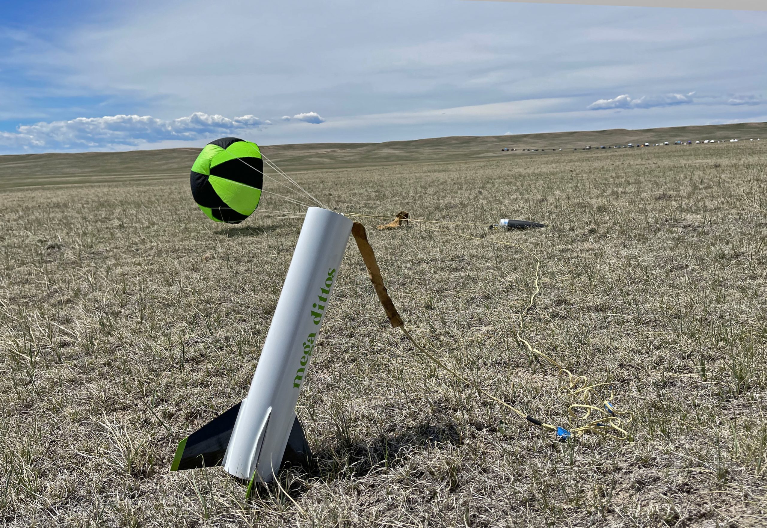
Atlas Launch Site

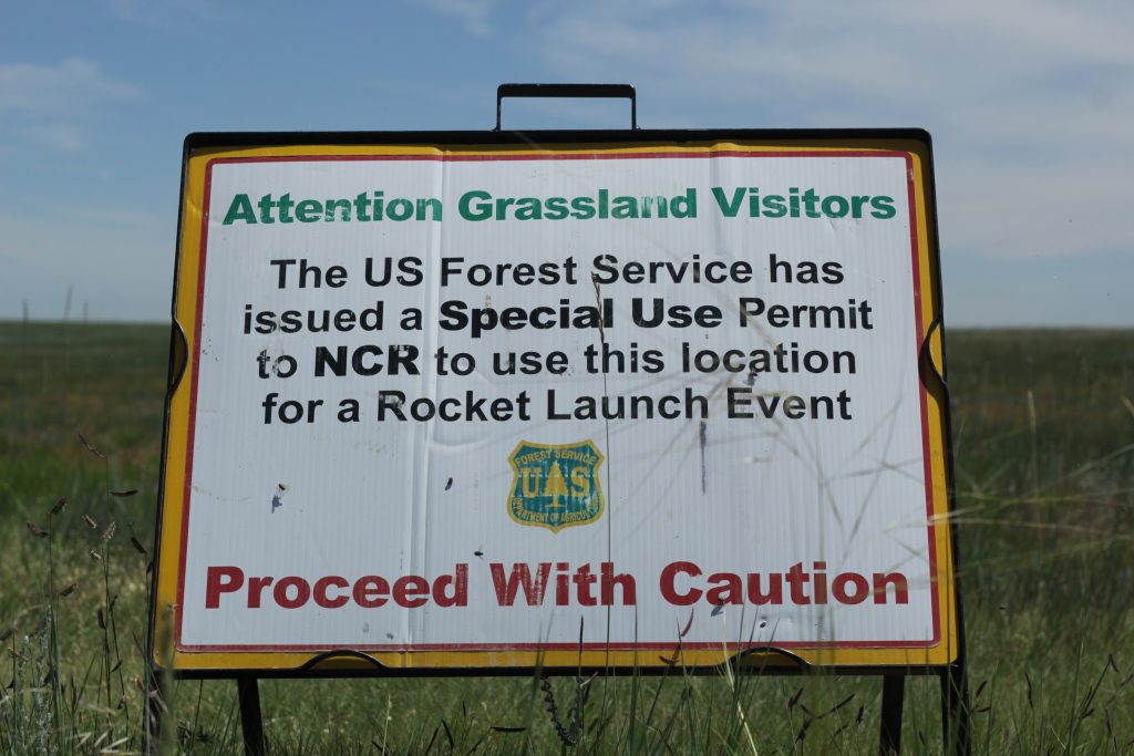
Safety First
A morning orientation briefing for participants will be held and will include a discussion of safety and emergency procedures, fire conditions and instruction, applicable rules and regulations, and what is expected of participants with regards to the use of National Forest Lands under our special use permit.
Please note that all launch events will be conducted using nationally approved/accepted range safety practices.
The launching of rockets on NFS land is normally prohibited under a Forest Service Region 2 fire regulation.
The issuance of NCR’s permit allows launches to take place by exempting the Holder from that regulation for approved launch events only.
All launches, other than those conducted by the Holder during approved launch events, are outside the scope of this permit and are prohibited by Forest Service regulations.