- This topic has 11 replies, 4 voices, and was last updated 19 years, 9 months ago by
 denverdoc.
- The forum ‘Archives 2006-2010’ is closed to new topics and replies.
Forums › Archives › Archives 2006-2010 › Site Altitude
I have two GPS units… “Old reliable” and a new one that I was given for Christmas. They often read different elevations for the same waypoint. Further to that, the elevations on both will “float” quite a bit.
I had once read that the X axis and Y axis were accurate to w/in a few meters, buy the Y axis was highly variant. As such, I”ve never paid much attention to the elevation component of my GPS….
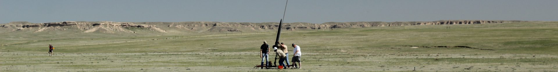
We had researched the MSL of the two launch sites for the last website, and the 4,800′ and 5,500′ sticks in my mind. Unfortunately, we weren’t able to get all the old info off the old website.
When cranking all of that into the simulations, we often overlook temps. At Hartsel, I actually looked at a thermometer when I launched… it said 49 degrees. Yet when I asked folks around me what they thought the temps were, the lowest guess was 60, with some folks guessing 75. To be honest with you, it felt warmer than 49. My point is that a temp error of 10-15 degrees shifts your sims a lot more than going from 4,800′ to 5,000’…
John,
All depends, if using higher precision GPS with a good view of 4 sats that are divergent in the sky, the z uncertainty is at most 1.5 times the x,y position. I believe some of the higher end handhelds now provide sat position data, so you can factor that in to figure the reliability of the Z data. Certainly at high alts, say over 30K, I’d be more inclined to believe GPS data than baro provided you had access to 4 sats–at least that reported from the average altimeter. This issue came up on a THPRA thread and also recently on altimeters here. There are ways to download the data and massage it more fully to increase the accuracy of the baro based altimeter report. But hey whose gonna believe it when you return the next day to report that after data analysis, it flew 1000′ higher than reported. 😉
Also besides temp, humidity is a neglected factor, short of rainfall or fog, humidity is a friend, and lightens air in molar proportion. The “ideal” day would be an average summer day in NYC ( 95/95) transported to the Rockies.
John S